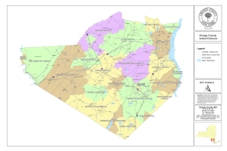
This county wide map shows the School Districts for Orange County.
Date published: July 2024
Or select a school district:
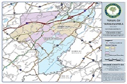
Election Districts per municipality.
Date published: May 2023
Please select a municipality:
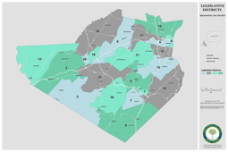
This county wide map shows the Legislative Districts for Orange County.
Date published: November 2024
Or select a Legislative district:
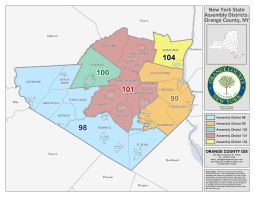
Political Districts in Orange County.
Date published: January 2024
Please select a map:
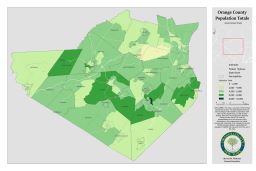
Total Population by Census Tract. Map based on the 2020 Census.
Date published: June 2025
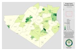
Population Density by Census Tract. Map based on the 2020 Census.
Date published: July 2025